 It is one of the only remaining sizeable bits of marsh in the Midlands which isn't simply part of a floodplain. It is formed as run off from the nearby hills with the local geology preventing it from draining. There is reckoned to be about 5 foot depth of peat which has accumalated. Man has left his mark on the environment especially through the collection of wood. This has been going on for hundreds and perhaps thousands of years - pre-Roman settlement is known in the area. Without human intervention, wetland in this area tends to be wooded with trees such as alder surrounding numerous bodies of open water. As well as being used for things like clogs, in post-medieval times alder was one source of charcoal for gunpowder making.
 This map is from one of the information boards at the entrance to the marsh. The roughly horizontal line of trees seems, going by a nineteenth century OS map, to be the remains of a hedge line. The area has become more wooded in the last century with the decline of wood gathering though this is one method of keeping the meadows relatively clear...
 |
| Mowing machine |
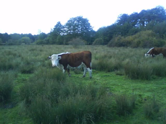
A small herd is maintained on the meadows; they keep down the grass and much of the scrub although the photo shows how much of even the drier area is covered with low reeds. The herd roams into part of the marsh area as well. I could follow some of their tracks as far as the pond. Parts of the marsh may be too deep for them - the path crosses the main body of the marsh on a duckboard causeway and it looks decidedly wet underfoot. If you ever go - beware. I was wearing army boots and almost ended up pitching into the mire; the duckboards are decidedly slippy!

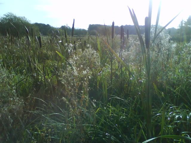
 There are a couple of sizeable areas of open water surrounded by pretty dense reeds and bulrushes. Much of this is pretty tall.
 |
| Swampster in the bulrushes. |
As for wargaming....
In DBMM terms I think I calculated that the marsh area would qualify as a 1 ME piece. Whether it is wet enough to be 'marsh' in rule terms is debateable though it is certainly far enough away from a river not to count as the marsh allowable adjacent to a water feature. It is certainly at least boggy ground. It did strike me that the rushes would be tall and dense enough to hide light infantry though their presence would likely to be revealed quite quickly if there was any movement.
The wet meadow is much drier (or was when I visited in October, though the autumn had been relatively dry) and might count as either open ground or some kind of rough going.
On a closing note... one of the reasons for the survival of this area of marsh (now an SSSI) was through the work of my father and his colleagues during the expansion of my town. Draining of the area had certainly been considered. He also helped to ensure that the route of the ancient and Roman road was preserved as the area was built up. Thanks, Dad.


